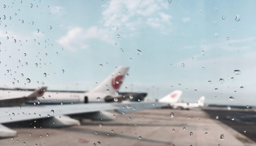
When COVID-19 grounded the world’s airlines, it also grounded one of the world’s most important sensor networks: airliners. Pre-COVID, the AMDAR (Aircraft Meteorological Data Relay) network provided up to 850,000 daily observation data points from automated sensors on board aircraft from some 40 carriers. When COVID hit, weather forecasters lost up to 90% of this data.
[Intro links: Aircraft Meteorological Data Relay /weather forecasters lost up to 90% of this data ]
Run by the World Meteorological Association, “in terms of upper air data, AMDAR is one of our most important sources,” WMO scientific officer Minna Huuskonen, who coordinates the programme, tells us.
The flow of AMDAR data is especially useful when the plane is climbing or descending, because the changing flight levels gives weather forecasters a snapshot of how the wind is changing speed and direction at different altitudes, and the sensors provide accurate location information. Frequent and regular data from planes, which is anonymised before being passed to forecasters, is especially critical for short-term (sub-24h) weather forecasting.
“If the atmosphere is stable, it’s easy to predict the weather, even with smaller amounts of data. But severe events like thunderstorms require a good understanding of the state of the atmosphere for accurate prediction. In this case, the models require more data to know the status of the atmosphere,” Huuskonen says.
Fortunately, forecasters have been able to draw on other sources of wind information. It may seem old-fashioned but launches of radiosondes, instruments sent up on weather balloons to gather data, have been increased in some areas. Typically, they are sent up twice a day.
Huuskonen also said forecasters in Europe have been able to derive temperature and wind data from Mode-S transponders, which unlike AMDAR do not require additional software to be installed on planes. The flight data company FLYHT, which runs the TAMDAR system, also provided some of its data for free as a temporary solution, for which Huuskonen said the WMO and the whole meteorological community were very grateful.
Furthermore, as luck would have it, wind data from the European Space Agency’s (ESA) Aeolus satellite had just been approved for operational use in January 2020. Aeolus, named after the Greek god of the winds, was launched in January 2018 as a demonstrator. The satellite carries just one large instrument, a Doppler wind LIDAR, designed by Airbus, to measure winds.
The satellite, in a low level orbit similar to the level where the ISS orbits, uses a laser to send a high-energy pulse down into the atmosphere and then measures what is reflected back to assess the vertical and horizontal wind profile.
“It’s unique technology, the first in the world,” Didier Morançais, ESA Key Account Manager at Airbus Defence & Space, tells us.
He says the benefit of using satellite data is that it provides much better global coverage, rather than just from the areas close to major airports. “It’s all over the globe, 24 hours a day. It is much better than just having a lot of data near airports.”
While Aeolus has already gone past its expected useful life of three years, it is still providing data and has been of great value to make up for the lack of data from planes during the pandemic.
It’s been such a success that Airbus is currently discussing with ESA an Aeolus 2, which would comprise a suite of satellites, increasing the frequency of measurements. Morançais says a decision is expected at ESA’s next ministerial conference in 2022.
WMO’s Huuskonen admits that there are gaps in AMDAR coverage, notably over South America and Africa, but says that it is cost-effective and provides high quality data to complement the wide coverage of satellites.
Looking ahead, the race is on to harness the growing number of drones in research and commercial use, which could provide a fairly affordable way to increase coverage in remote areas.
The WMO is working with the International Air Transport Association (IATA) to encourage more airlines to sign up to the AMDAR programme. Huuskonen acknowledges the pandemic has left airlines needing to focus on survival, rather than signing up to provide weather data, but urges them to consider joining, saying funding will be negotiated on a case-by-case basis.
“It’s a win-win situation,” Huuskonen says of the AMDAR scheme. “We get the data to improve weather forecasts. That means airlines get better weather forecasts, which means they can better plan flight routes to avoid storms and turbulence and save fuel.”
Being able to better plan flight routes before taking off means fewer in-flight diversions or route and altitude changes to avoid weather. That helps airlines to reduce their fuel burn, not only saving them money, but also cutting harmful emissions.
And, with severe weather-related events on the rise and climate protests back in the headlines, accurate and comprehensive forecasts have never been so badly needed.
Author: Victoria BRYAN
Published: 16th December 2021


